Revolutionizing Ocean Data: Advanced Sensor Fusion for Geospatial Intelligence
- The LSC Team
- Jul 14, 2025
- 4 min read
The ocean covers more than 70% of our planet, yet much of it remains unexplored and poorly understood. As we face challenges like climate change, overfishing, and pollution, the need for accurate ocean data has never been more critical. Advanced sensor fusion technology is stepping in to revolutionize how we gather and analyze this data. By combining information from various sensors, we can create a clearer picture of our oceans and make informed decisions for their preservation.
In this blog post, we will explore the concept of sensor fusion, its applications in ocean data collection, and how it enhances geospatial intelligence. We will also look at real-world examples and the future of this technology in oceanography.
Understanding Sensor Fusion
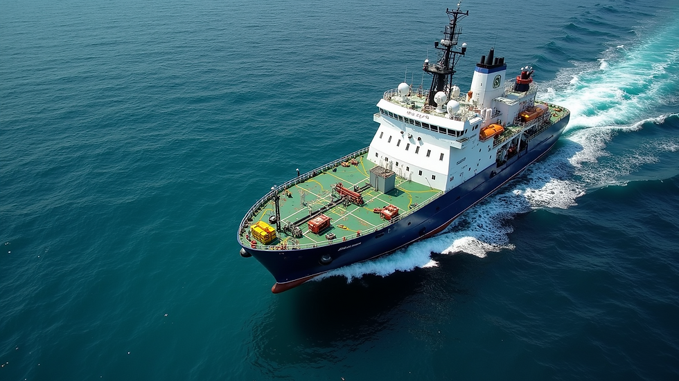
Sensor fusion is the process of integrating data from multiple sensors to produce more accurate and reliable information. This technique is widely used in various fields, including robotics, automotive, and aerospace. In the context of ocean data, sensor fusion combines data from different sources, such as satellites, buoys, underwater drones, and sonar systems.
By merging data from these diverse sensors, we can overcome the limitations of individual sensors. For instance, a satellite may provide a broad view of ocean temperature, while a buoy can offer localized data. When combined, these datasets create a comprehensive understanding of ocean conditions.
The Importance of Geospatial Intelligence
Geospatial intelligence (GEOINT) refers to the collection and analysis of geographic information to support decision-making. In oceanography, GEOINT plays a vital role in understanding marine ecosystems, monitoring environmental changes, and managing resources.
With advanced sensor fusion, we can enhance GEOINT by providing more accurate and timely data. This improved intelligence allows researchers, policymakers, and conservationists to make better decisions regarding ocean management and protection.
Applications of Sensor Fusion in Ocean Data
1. Climate Monitoring
One of the most pressing issues facing our oceans is climate change. Rising sea temperatures, ocean acidification, and changing currents all have significant impacts on marine life and ecosystems. Sensor fusion can help monitor these changes more effectively.
For example, satellites can track sea surface temperatures, while underwater sensors can measure temperature and acidity at various depths. By combining these datasets, scientists can gain a clearer understanding of how climate change is affecting ocean health.
2. Marine Biodiversity Assessment
Understanding marine biodiversity is crucial for conservation efforts. Sensor fusion can aid in assessing the health of marine ecosystems by integrating data from various sources.
Underwater drones equipped with cameras and sensors can capture images and data on fish populations and coral reefs. When this information is combined with satellite imagery and environmental data, researchers can identify trends and make informed decisions about conservation strategies.
3. Fisheries Management
Overfishing is a significant threat to ocean health. Effective fisheries management relies on accurate data about fish populations and their habitats. Sensor fusion can provide this data by integrating information from fishing vessels, sonar systems, and environmental sensors.
For instance, fishing vessels can use sonar to locate schools of fish, while environmental sensors can monitor water quality. By combining these datasets, fisheries managers can make better decisions about catch limits and sustainable practices.
4. Pollution Tracking
Pollution is another major concern for our oceans. Sensor fusion can help track pollution sources and monitor their impact on marine life. For example, sensors can detect oil spills, plastic debris, and chemical runoff.
By integrating data from satellites, buoys, and underwater sensors, researchers can create a comprehensive view of pollution levels in specific areas. This information is crucial for developing effective response strategies and policies to protect marine ecosystems.
Real-World Examples of Sensor Fusion in Action
Case Study: The Ocean Observing System
The Ocean Observing System is a global network of sensors and platforms designed to monitor ocean conditions. This system uses sensor fusion to integrate data from satellites, buoys, and underwater vehicles.
By combining these datasets, researchers can track ocean currents, temperature changes, and marine life movements. This information is invaluable for understanding climate change impacts and managing marine resources.
Case Study: The Copernicus Marine Environment Monitoring Service
The Copernicus Marine Environment Monitoring Service (CMEMS) is another example of sensor fusion in action. CMEMS provides data on ocean conditions, including temperature, salinity, and currents.
By integrating data from various sources, including satellites and in-situ measurements, CMEMS offers a comprehensive view of ocean health. This information supports decision-making for policymakers and researchers alike.
The Future of Sensor Fusion in Oceanography
As technology continues to advance, the potential for sensor fusion in oceanography will only grow. Emerging technologies, such as artificial intelligence and machine learning, can enhance data analysis and interpretation.
For instance, AI algorithms can analyze large datasets from multiple sensors to identify patterns and trends. This capability will enable researchers to make more accurate predictions about ocean conditions and their impacts on marine life.
Additionally, the development of new sensors and platforms will expand the possibilities for data collection. Autonomous underwater vehicles and drones will play a crucial role in gathering data from remote and difficult-to-reach areas.
Challenges and Considerations
While sensor fusion offers many benefits, it also presents challenges. Data integration can be complex, requiring advanced algorithms and processing capabilities. Ensuring data quality and accuracy is also essential for reliable results.
Moreover, the cost of deploying and maintaining sensor networks can be significant. Collaboration between governments, research institutions, and private companies will be crucial for overcoming these challenges and maximizing the potential of sensor fusion in ocean data collection.
The Call to Action
As we continue to explore and understand our oceans, the role of advanced sensor fusion in geospatial intelligence will be vital. By harnessing the power of technology, we can gather more accurate data, make informed decisions, and protect our marine ecosystems.
The future of ocean data collection is bright, but it requires collaboration and commitment from all stakeholders. Whether you are a researcher, policymaker, or simply an ocean enthusiast, your involvement is essential in this journey toward a healthier ocean.

In summary, advanced sensor fusion is revolutionizing how we collect and analyze ocean data. By integrating information from various sources, we can enhance our understanding of marine ecosystems and make informed decisions for their preservation. The future of oceanography is here, and it is powered by technology and collaboration. Let us embrace this opportunity to protect our oceans for generations to come.

Comments