top of page
Create Your First Project
Start adding your projects to your portfolio. Click on "Manage Projects" to get started


Underwater Geospatial Intelligence Solution
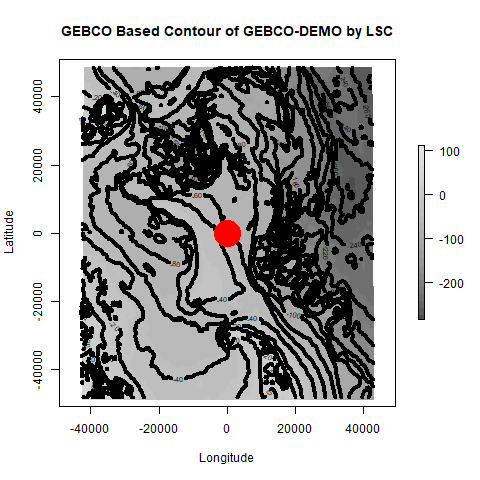
This project showcases various maps, 3D models, and visualizations related to underwater geospatial intelligence. It includes maps showing pressure variations, water depths, ocean depths, topographic slope plots, and contour maps with color gradients.


bottom of page